Blog Contents
- Building search with Server-Side Swift 21 Aug 2022
- Sharing code in multi-target swift package 17 Aug 2022
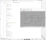
How to make a SPM project that contains multiple executables using shared code, without adding another project.
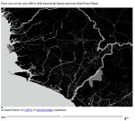
development, swiftA look at how large geospatial datasets are stored and processed, some tips to quickly see what's in the files, and how to get such data onto an interactive webpage map.
4c, geospatial, geotiff
- 4C starting notes 19 Jan 2022
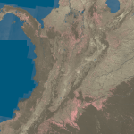
A look at one of my new projects, putting my engineering skills towards a project tacking the ongoing climate crisis with a team at the University of Cambridge looking at verifiable carbon offsetting.
4c, blockchain, tezosI've been doing a bunch of reading and playing in the space of minimal computing in my spare time, and here's some thoughts on things I find interesting in the area.
assembly, macos, os, virtualization, x86
- Bytes not Bytearrays with Django please 27 Apr 2021
A quick look a unexpected nuanced interaction of Django's HTTPResponse object and Python's type system that caught me out.
development, django, python- Getting started with fuzzing your Django web app 10 Feb 2021
Not all software issues are in the code, here is a tale of how what clothes I was wearing impacted how well my app worked when used in the real world!
development, health, ios, location, testing